Eyes Above the Pacific: How Satellites Are Helping Island Nations Confront Climate Change
For many Pacific Island communities, the effects of climate change are already part of everyday life. Rising sea levels threaten coastal settlements, changing rainfall patterns affect freshwater supplies, and tropical cyclones can devastate infrastructure and livelihoods within hours.
Monitoring these changes presents an enormous challenge. The Pacific Ocean covers roughly one-third of Earth's surface, with thousands of islands scattered across vast distances. Collecting environmental information using traditional ground-based equipment, aircraft and research vessels can be expensive, time-consuming and logistically difficult.
Increasingly, part of the solution is coming from space.
Earth observation satellites are providing governments, scientists and emergency responders with information about the Pacific environment. By repeatedly observing the same locations, satellites can reveal changes that might otherwise go unnoticed, helping communities make better-informed decisions about their future.
Understanding Our Changing Planet from Space
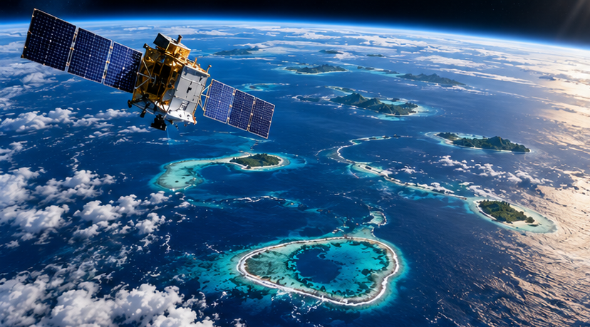
Earth observation satellites use specialised instruments to measure conditions on Earth's surface, in the oceans and throughout the atmosphere.
Some carry optical cameras that capture images similar to conventional photography. Others use radar, infrared sensors or instruments capable of measuring subtle variations in ocean height and surface temperature.
These different technologies provide complementary information.
For example, the European Space Agency's Sentinel-2 satellites capture imagery with a resolution as fine as 10 metres in selected spectral bands. This allows researchers to examine changes in vegetation, land use and coastal environments.
Meanwhile, Sentinel-1 satellites use Synthetic Aperture Radar (SAR), a technology that sends radar signals towards Earth and measures their reflections. Unlike conventional optical cameras, radar can observe the surface at night and through cloud cover.
This is particularly valuable in tropical environments, where persistent cloud cover can make traditional satellite photography difficult.
Other missions, including the Sentinel-6 ocean-monitoring satellites, measure sea surface height to help scientists understand long-term changes in global and regional sea levels.
Together, these systems provide a more complete picture of environmental conditions than any single satellite could deliver.
Monitoring Rising Seas and Changing Coastlines
Sea-level rise is one of the most significant long-term challenges facing low-lying Pacific Island nations.
Countries such as Tuvalu, Kiribati and the Marshall Islands have communities and infrastructure located only a few metres above sea level. Even relatively small changes in sea level can increase the consequences of coastal flooding, wave overtopping and saltwater intrusion.
Satellites equipped with radar altimeters measure the distance between the spacecraft and the ocean surface. When combined with precise orbital information and other measurements, these observations allow scientists to monitor changes in sea level over time.
Satellite imagery also helps researchers examine how coastlines are changing.
By comparing images captured over months or years, scientists can identify areas where beaches are eroding, sediment is accumulating or vegetation is changing.
However, shoreline changes are complex. Some islands may lose land in one location while gaining it elsewhere through natural sediment movement. Satellite observations must therefore be interpreted alongside local measurements, tidal information and knowledge of coastal processes.
For governments responsible for roads, airports, housing and freshwater infrastructure, understanding these changes is essential for long-term planning.
Improving Cyclone Preparedness and Disaster Response
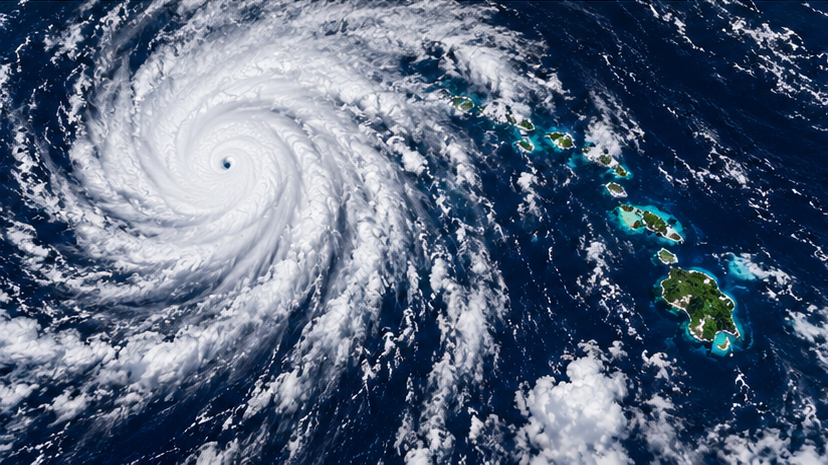
Tropical cyclones remain among the most destructive natural hazards affecting Pacific communities.
Meteorological satellites continuously monitor atmospheric conditions, helping forecasting agencies track developing storms, estimate their intensity and predict their movement.
These observations contribute to weather forecasting models and early-warning systems, giving communities valuable time to prepare.
Satellite information also becomes important after a cyclone passes.
Flooding, landslides and damaged infrastructure can make affected areas difficult to access. In some cases, communications and transport networks may be disrupted for days.
Optical and radar satellite imagery can help emergency management organisations identify flooded areas, assess changes to infrastructure and prioritise locations requiring further investigation.
Radar imagery is especially useful when clouds remain over affected areas after a storm.
Nevertheless, satellite-based damage assessments have limitations. Image resolution, acquisition timing and local terrain can affect what can be detected. Satellite observations are most effective when combined with reports from emergency responders and communities on the ground.
For geographically dispersed Pacific nations, this combination of information can improve situational awareness when rapid decisions are required.
Supporting Agriculture and Freshwater Security
Climate change is also placing pressure on agriculture and freshwater resources across the Pacific.
Many island communities depend on local crops, rainfall and limited groundwater supplies. Extended dry periods, changing seasonal conditions and saltwater intrusion can affect both food production and drinking water availability.
Satellites can help monitor some of these pressures.
Multispectral imagery measures reflected light across different wavelengths, allowing researchers to assess vegetation condition and identify changes that may indicate water stress or crop damage.
Satellite-derived rainfall estimates can also help monitor drought conditions, particularly in locations where weather stations are sparse.
Other observations can reveal changes in land cover, surface water and environmental conditions that influence agriculture.
However, satellites cannot directly measure every aspect of soil quality, groundwater availability or crop health. Local observations remain necessary to confirm conditions and determine appropriate responses.
By combining space-based information with agricultural expertise, Pacific nations can improve their understanding of environmental risks and support more resilient food production.
Protecting Marine Ecosystems and Biodiversity
The Pacific Ocean supports ecosystems that are essential to local economies, food security and cultural identity.
Coral reefs, fisheries, mangrove forests and coastal habitats provide food, protect shorelines and support tourism.
These ecosystems are increasingly exposed to rising ocean temperatures, marine heatwaves and other environmental pressures.
Satellite instruments measure sea surface temperature across large ocean areas. This information helps scientists identify unusually warm conditions that may place coral reefs at risk of bleaching.
For example, the United States National Oceanic and Atmospheric Administration (NOAA) operates Coral Reef Watch, which uses satellite-derived temperature information to monitor marine heat stress and provide coral bleaching alerts.
Satellite imagery can also support mapping of mangrove forests, coastal vegetation and some shallow-water habitats.
In suitable conditions, researchers can use changes in reflected light to examine reef environments and identify potential disturbances.
These observations do not replace underwater surveys or ecological assessments. Instead, they help scientists identify where further investigation may be needed and monitor environmental changes across larger areas.
For Pacific nations responsible for extensive marine territories, this wider perspective is particularly valuable.
New Zealand's Role in Pacific Environmental Monitoring
New Zealand has longstanding relationships with Pacific Island nations through scientific cooperation, disaster response and regional development initiatives.
Satellite technology provides further opportunities to strengthen these partnerships.
New Zealand organisations can contribute expertise in environmental science, geospatial analysis, emergency management and the interpretation of satellite observations.
Collaboration with international satellite operators and research institutions can also improve access to environmental information.
However, providing imagery is only one part of the solution.
For satellite data to be genuinely useful, Pacific organisations need access to suitable software, reliable communications, trained personnel and information products that support local decision-making.
This creates opportunities for practical training, technical partnerships and the development of regional capabilities.
Importantly, Pacific nations must be able to identify their own monitoring priorities and determine how environmental information is used.
Building local capability can reduce dependence on external analysis and support more sustainable long-term monitoring programmes.
Turning Satellite Data into Decisions
One of the greatest challenges in Earth observation is not simply collecting information, but turning enormous volumes of data into something useful.
A satellite image may show a changing coastline, an unusual ocean temperature or an area of damaged vegetation. On its own, however, that observation does not necessarily tell a community what action to take.
The information must be processed, interpreted and placed into context.
For example, identifying coastal erosion may require comparisons with historical imagery, tidal records and local surveys. Understanding flood risk may require elevation models, rainfall forecasts and information about nearby infrastructure.
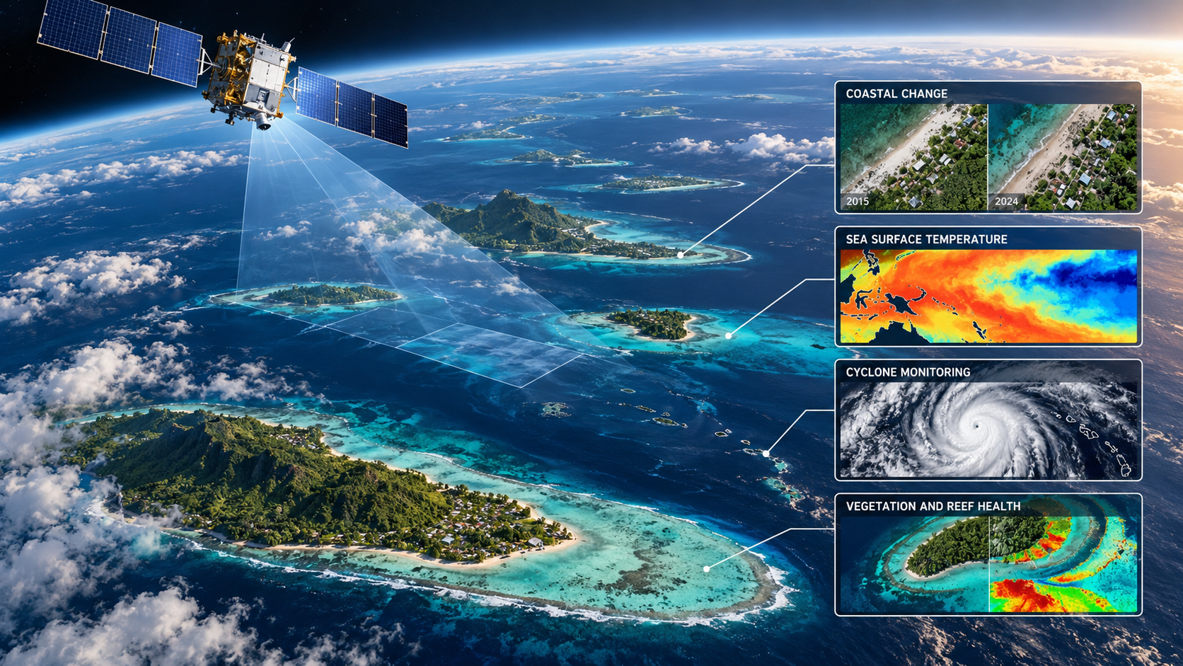
Advances in automated image processing, cloud computing and artificial intelligence are making it easier to analyse large collections of satellite observations.
These technologies can help identify patterns, highlight areas of concern and reduce the time required to produce useful environmental information.
But technology alone is not enough.
Effective environmental monitoring depends on cooperation between scientists, governments, emergency responders and the communities who understand local conditions.
Looking Ahead: A More Informed Pacific
Earth observation technology continues to develop, with new satellites, improved sensors and increasingly accessible data-processing systems.
Publicly available information from programmes such as Europe's Copernicus initiative and NASA's Earth observation missions provides opportunities for countries that cannot afford to operate their own satellites.
For Pacific Island nations, the potential benefits extend beyond climate change monitoring.
The same technologies can support disaster preparedness, infrastructure planning, agricultural management, fisheries research and environmental conservation.
The next challenge is ensuring that the information reaches the people who need it, in a form they can understand and use.
Satellites cannot stop sea levels rising or prevent tropical cyclones. But they can help communities see what is changing, understand the risks and make more informed decisions about how to respond.
For the Pacific, that makes space technology far more than a scientific achievement. It is an increasingly important tool for protecting communities and preparing for the future.